I don’t even know where to start writing up today. It started so innocuous and ended up somewhere we hadn’t entirely planned to be. We got up early and were out of camp before 8 am. It was cold, rainy and foggy. We have about 3 1/2 hours to our final destination of Waterton / Glacier international Peace Park straddling the border between Alberta and Montana. We wanted to arrive early enough to enjoy the only day we had planned for this park.
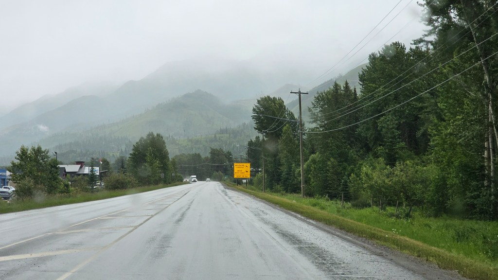
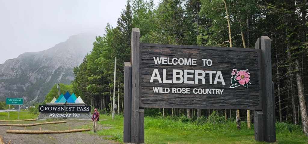
We made coffee and then left camp planning to breakfast in a nice roadside park along the way. Unfortunately it started to rain almost immediately and the temperature was only in the 40s. We are stilling following the Crowsnest Highway and have to do the Crowsnest Pass which demarcates British Columbia from Alberta.
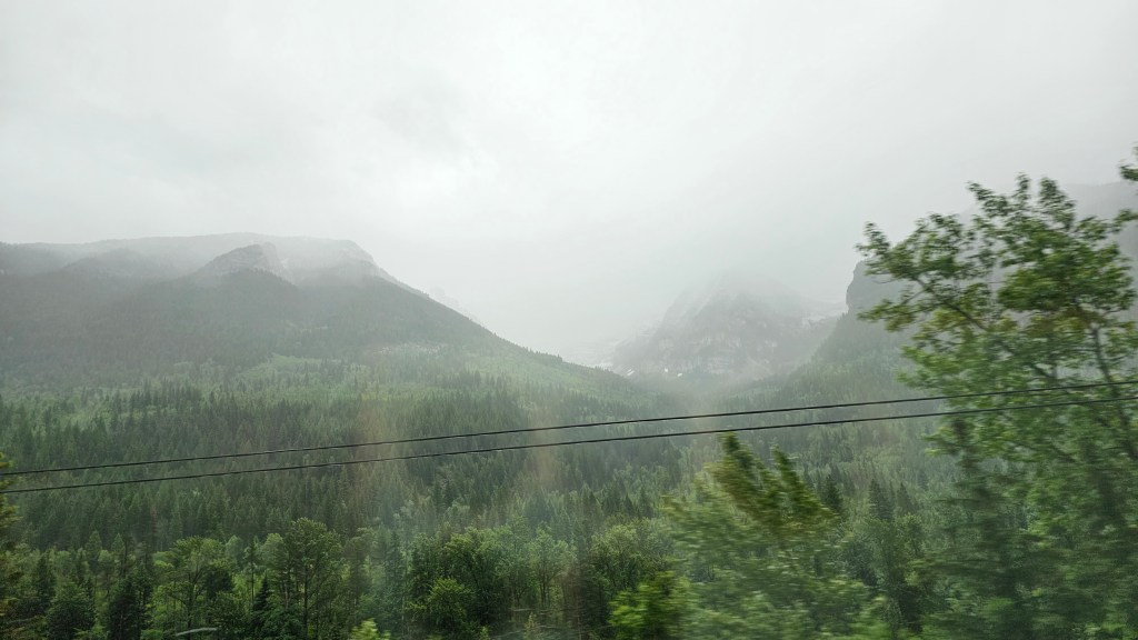
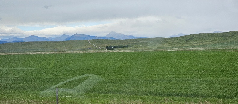
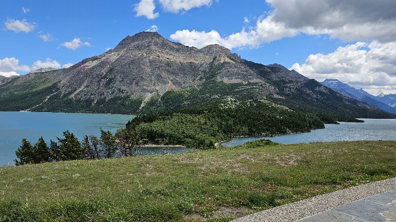
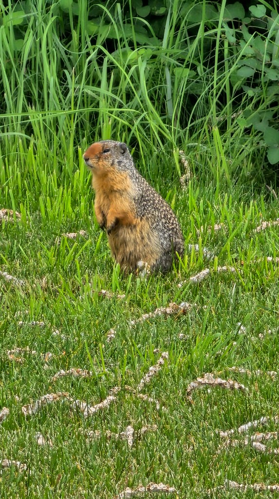
This turned out to be a photography day despite the rain so I will the photos speak for themselves.
We stopped for breakfast in Fernie Provincial Park.
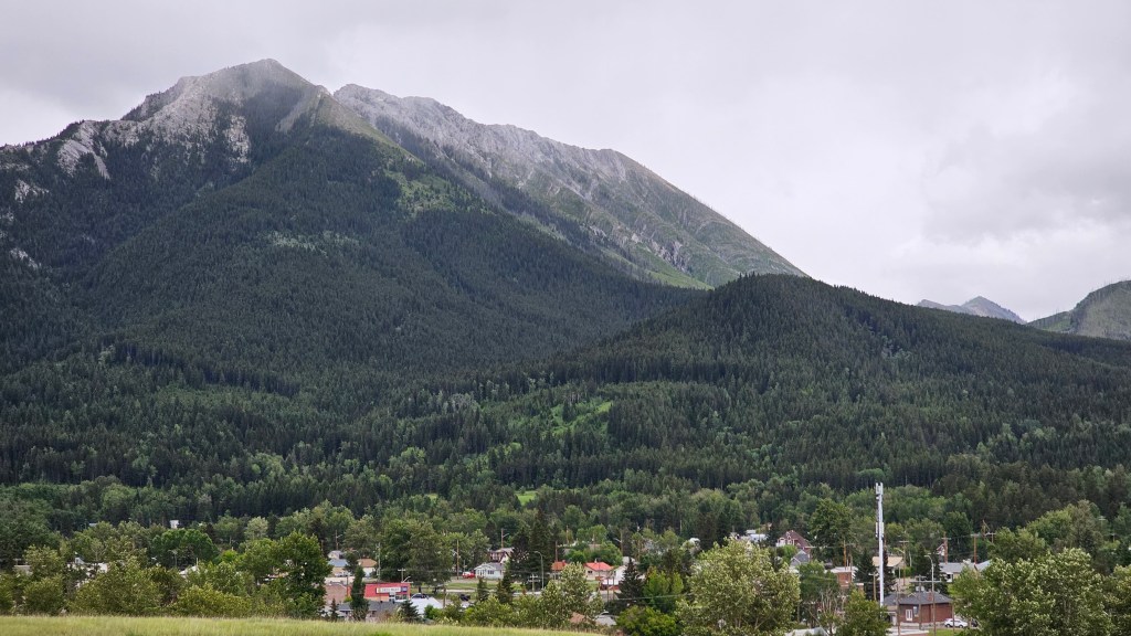
Fernie, BC is a skiing mecca and the only city in BC completely surrounded by the Rockie Mountains. We didn’t have the luxury, given the weather of seeing it without the mist… that’s snow by the way, in the mountains. At this point we have passed from the Selkirk Mountains into the Canadian Rockies again but much further south than Banff / Jasper.
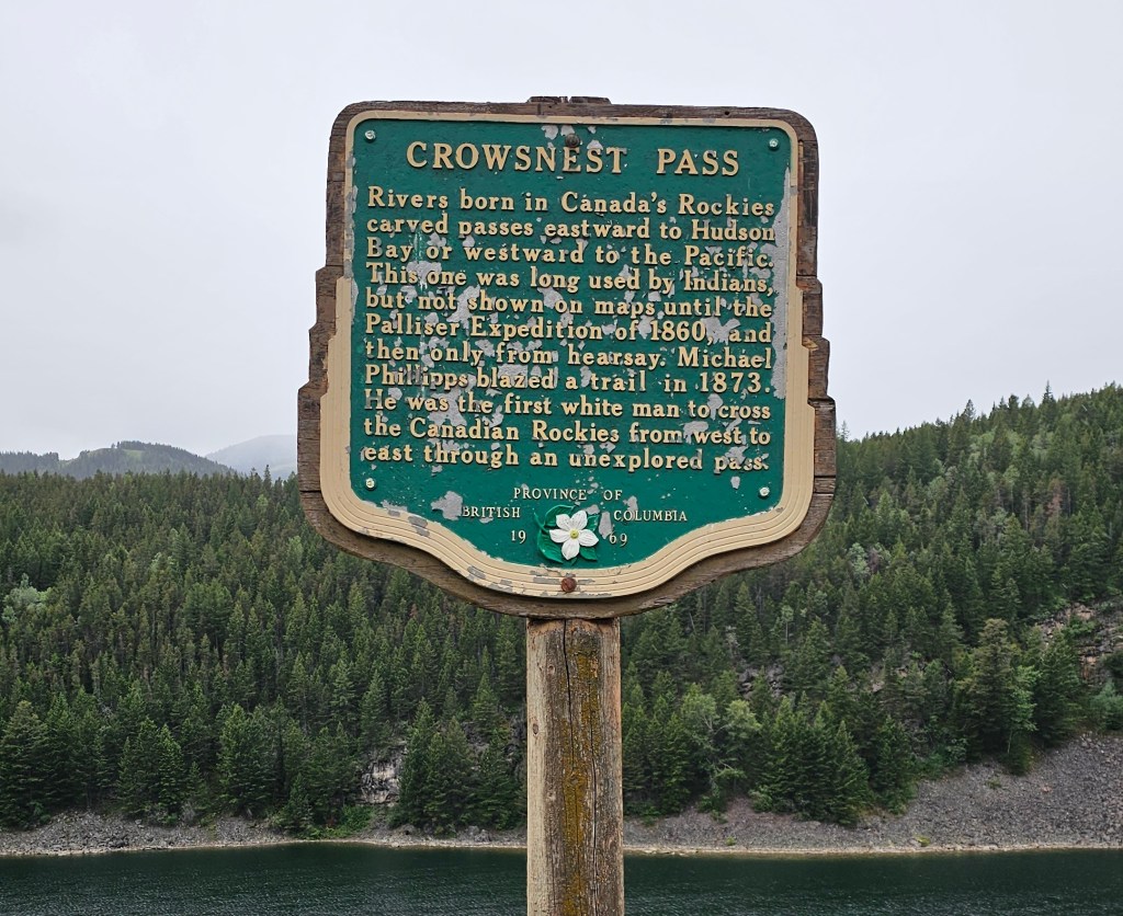
Crowsnest Pass (sometimes referred to as Crow’s Nest Pass, French: col du Nid-de-Corbeau) is a low mountain pass across the Continental Divide of the Canadian Rockies on the Alberta–British Columbia border.
It is the lowest-elevation mountain pass in Canada south of the Yellowhead Pass (1,130 m or 3,710 ft); the other major passes, which are higher, being Kicking Horse Pass (1,640 m or 5,380 ft), Howse Pass (1,530 m or 5,020 ft) and Vermilion Pass (1,680 m or 5,510 ft).
Crowsnest Pass comprises a valley running east–west through Crowsnest Ridge. On the Alberta side, the Crowsnest River flows east from Crowsnest Lake, eventually draining into the Oldman River and ultimately reaching Hudson Bay via the Nelson River. Summit Lake on the British Columbia side drains via three intermediary creeks into the Elk River, which feeds into the Kootenay River, and finally into the Columbia River to the Pacific.
The Crowsnest Pass area on both sides of the provincial boundary is rich in coal deposits, which were quickly developed after completion of the rail line. All the mines on the Alberta side were closed by the end of the 20th century as cheaper and safer open-pit mines opened on the British Columbia side of the pass.
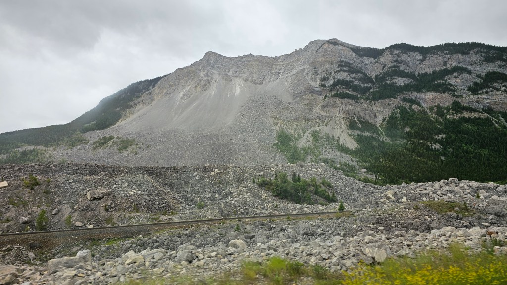
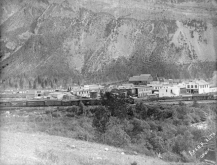
The Frank Slide was a massive rockslide that buried part of the mining town of Frank in the District of Alberta of the North-West Territories, Canada, at 4:10 a.m. on April 29, 1903. Around 44 million cubic metres/110 million tonnes (120 million short tons) of limestone rock slid down Turtle Mountain. Witnesses reported that within 100 seconds the rock reached up the opposing hills, obliterating the eastern edge of Frank, the Canadian Pacific Railway (CPR) line and the coal mine. It was one of the largest landslides in Canadian history and remains the deadliest, as between 70 and 90 of the town’s residents died, most of whom remain buried in the rubble. Multiple factors led to the slide: Turtle Mountain’s formation left it in a constant state of instability. Coal mining operations may have weakened the mountain’s internal structure, as did a wet winter and cold snap on the night of the disaster.
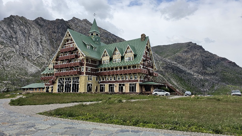
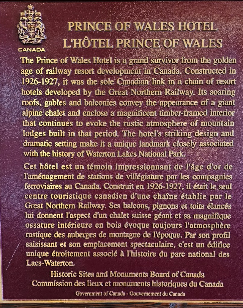
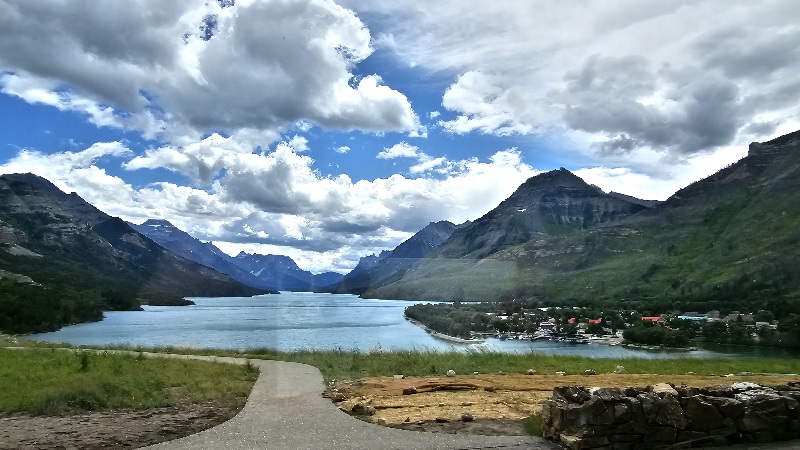
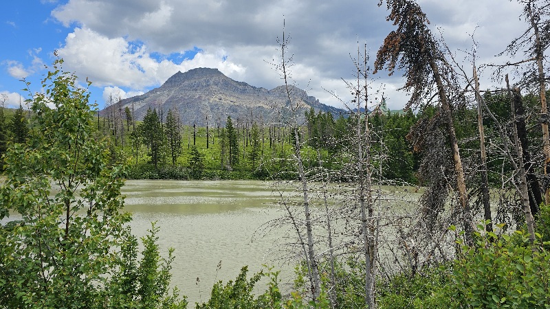
Waterton / Glacier International Peace Park

We have been here before. About 20+ years ago we went to Glacier National Park in Montana with a group of friends and crossed over the border into Waterton for a day. That trip started a 20 year friendship with one couple with whom we have spanned the globe in the intervening years. A lot of reminiscing going on today.
Waterton Lakes National Park is a national park located in the southwest corner of Alberta, Canada. It borders Glacier National Park in Montana, United States. Waterton was the fourth Canadian national park, formed in 1895 and named after Waterton Lake, in turn after the Victorian naturalist and conservationist Charles Waterton. This is a UNESCO site and shared park and ecosystem with the United States.

In 1932, Waterton-Glacier International Peace Park was formed from Waterton Lakes National Park and Glacier. It was dedicated to world peace by Sir Charles Arthur Mander on behalf of Rotary International on 18 June 1932, whose members from the Alberta and Montana chapters lobbied for the formation of the park. The Peace Park was the first of its nature in the world, and was intended to promote goodwill between nations and underscore the international nature of protection of wilderness.
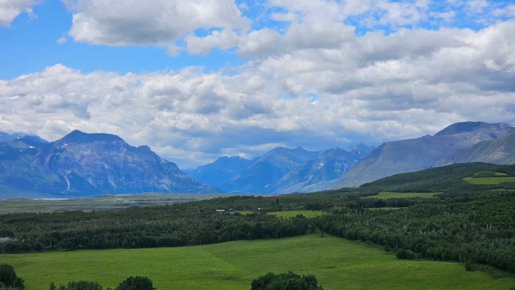
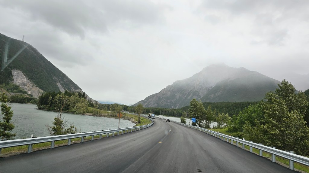
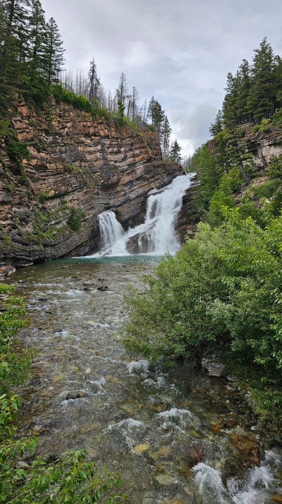
Just going to let the photos speak for themselves. It stopped raining just after we left the Crowsnest Pass and cleared up just as we approached Waterton.
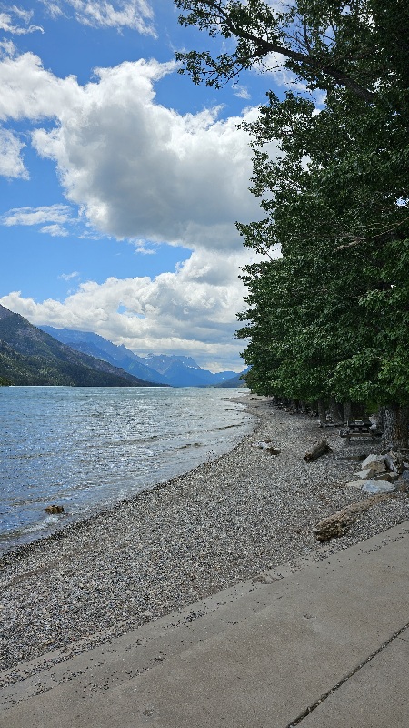
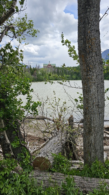
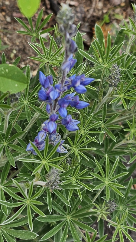
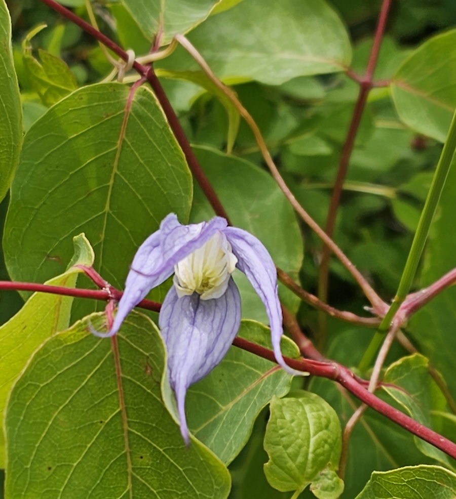
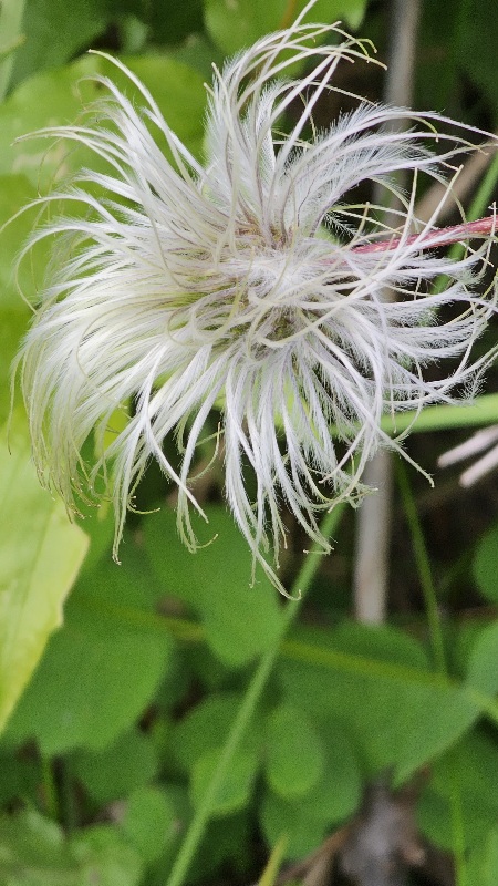
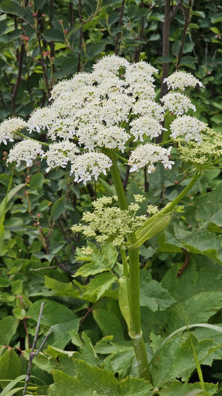
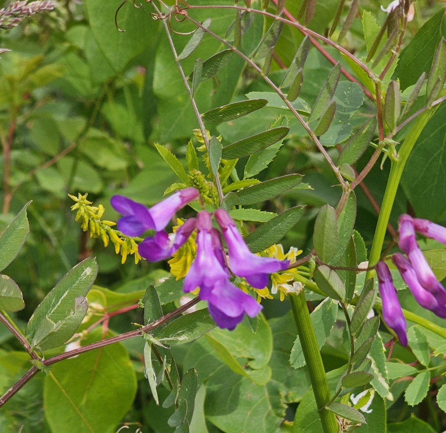
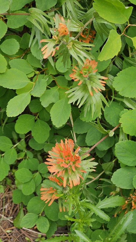
We had a nice 1 km walk around Linnet Lake. It was protected from the wind. Photos of just a few of the wild flowers follow.

News Update post Alberta Wildfires: According to CBC news today, Hwy 16 west of Edmonton was closed near Edson due to excessive flooding. We drove this part of hwy 16. We Jasper National Park has been hit hard by recent rain and snow, resulting in road and trail closures and treacherous conditions. In a statement Monday officials said 100 mm of rain and 55 centimetres of snow had fallen in some locations and Maligne and Miette roads have been closed. Park officials said crews had brought 60 people to safety, including hikers on the Skyline trail, paddlers on Maligne Lake and two tour buses full of passengers from Maligne Road. If you recall from my blog just 3 weeks ago, we did both Miette Hotsprings and Malign Lake. So lucky we did that part of the trip when we did!

You must be logged in to post a comment.