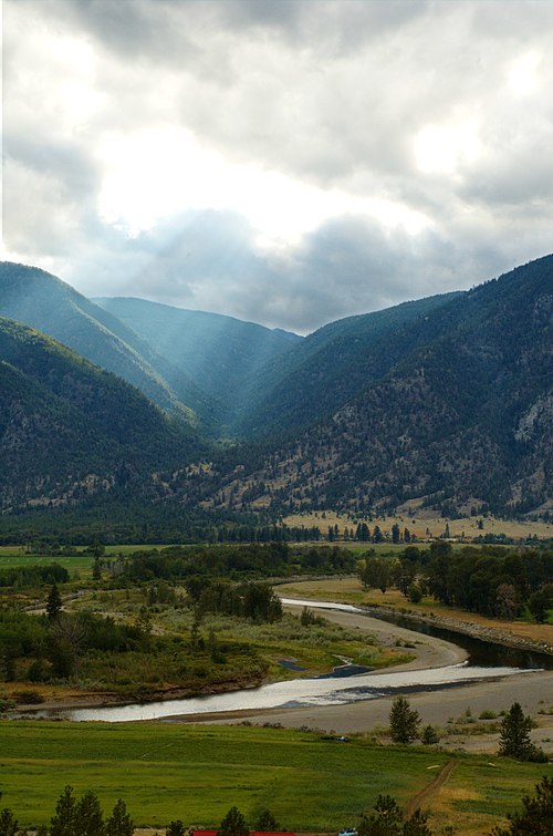
I am going to combine two days into this blog as they were mostly driving across the Crowsnest Highway (hwy 3) through some of the most beautiful and diverse landscapes in Canada, from mountain passes to lush fruit growing valleys and desert..all in few hours. The Google Timeline maps will give you an idea of the terrain. Yesterday, while I was driving, we climbed to 4700 feet from almost sea level with today’s summit at 5800 feet. Tricky stuff. At times we were very close to the US border and the state of Washington

Yesterday we followed the Fraser River and then the Similikameen River ( sounds like something out of a JRR Tolkien book).
The Similkameen River runs through southern British Columbia, Canada, eventually discharging into the Okanagan River near Oroville, Washington, in the United States. Through the Okanagan River, it drains to the Columbia River. The river is said to be named for an indigenous people called Similkameigh, meaning “treacherous waters”.
The Similkameen was one of the first areas of the province prospected as well as farmed and ranched. The area has seen a number of famous gold strikes and large mining operations, notably the Tulameen Gold Rush of the 1880s and 1890s and the Nickel Plate Mine at Hedley, but also including coal at Blakeburn and Coalmont, and copper at Allenby and Copper Mountain, all of these locations in the vicinity of Princeton.
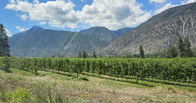
We passed over into the Okanagan Valley before reaching Osoyoos, BC. This is desert country. Canada’s only warm desert. The Okanagan is famous for its fruit growing areas and its vinyards.

We stopped for lunch in Osoyoos and then headed to the Osoyoos Desert Center to learn more about this fascinating landscape.

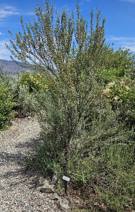
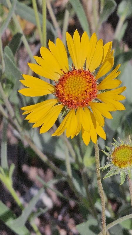
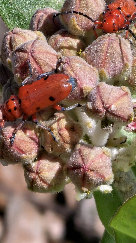
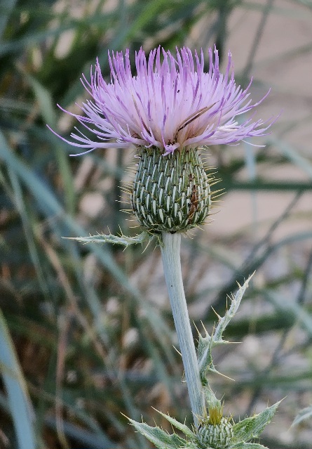
On the southern edge of British Columbia’s beautiful Okanagan Valley (known for its vineyards) is an extraordinary habitat popularly referred to as Canada’s pocket desert. This semi-arid, antelope-brush ecosystem is one of Canada’s most rare, fragile and endangered ecosystems. It is also home to one of the highest concentrations of rare and at-risk species in Canada, like the burrowing owl, sage grouse and tiger salamander.

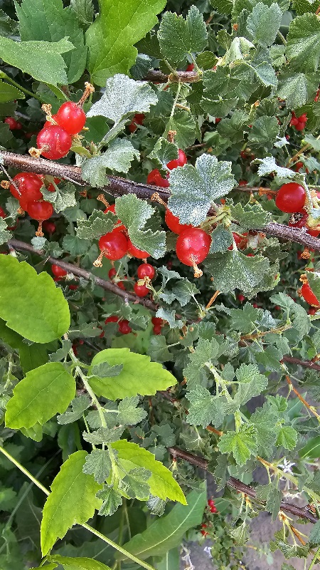


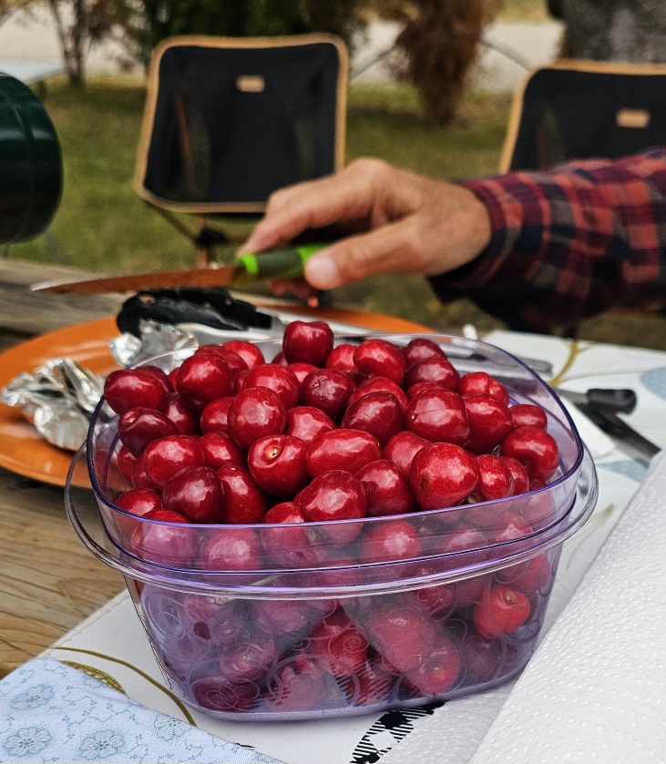
Our campsite for the night was the Orchard at the Oliver Motel and RV. We were unable to find anything in provincial park in this area and this was the best available. It turned out to be a charming spot with cedar hedges for privacy and Cherry trees right in our campsite. We picked enough to last us a few days. The cherries we picked plus the ones we bought added to the local strawberries will give us a fruit feast!
This is Father’s Day. We were able to have a zoom call with our daughters. Our campsite tonight is on a golf course with a nice restaurant and we have reservations for dinner. One of my cousins lived in Castlegar for many years.
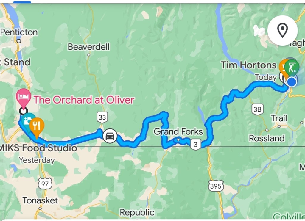
Today was a repeat of yesterday with our route taking us over a 5700 foot pass, through mining ( copper, gold, zinc) and logging towns. We actually aren’t sure which mountains we have been passing through / over as there are several ranges, the Cascades, the Selkirks, and the Kootenays. We think they are the Selkirks.
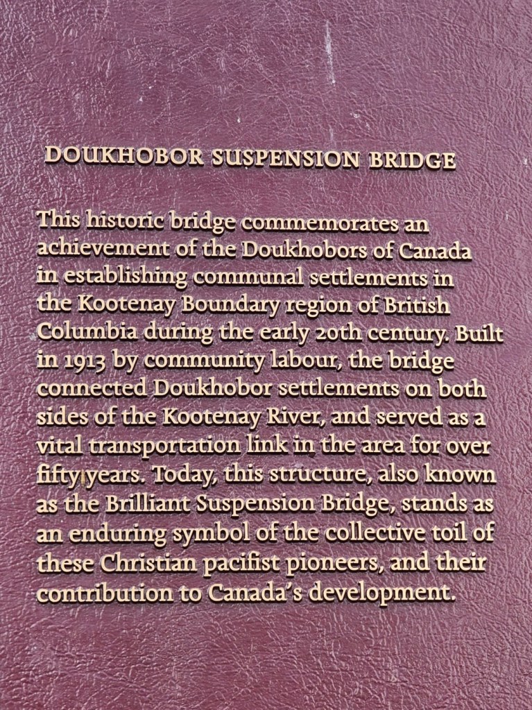
This is Doukabour country, Russian Christian pacifists who settled in Canada from Saskstchewan to BC to escape Russian oppression in the late 19th early 20th Century. I will talk more about them tomorrow.

It’s Father’s Day. We had a lovely zoom call with our daughters before breakfast.
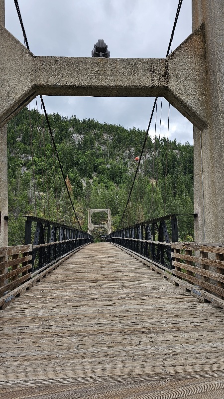
We arrived at our destination town, Castlegar BC, in time to find somewhere to have a picnic lunch before it starts to rain. One of my cousins lived in Castlegar for many years. Everything in town is closed and we ended up finding the Brilliant Suspension Bridge. Brilliant is the name of the community.


We did get into camp before it started to rain and I did a load of laundry. This RV site is on a golf course and has a nice restaurant. Going out for dinner for Father’s day.


You must be logged in to post a comment.