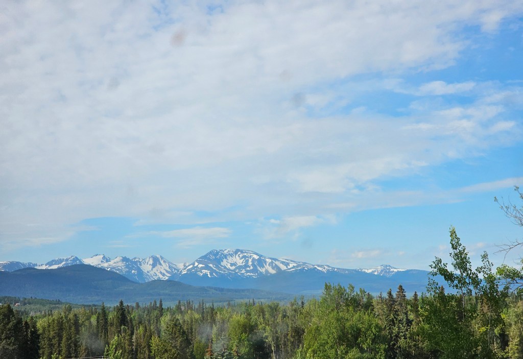
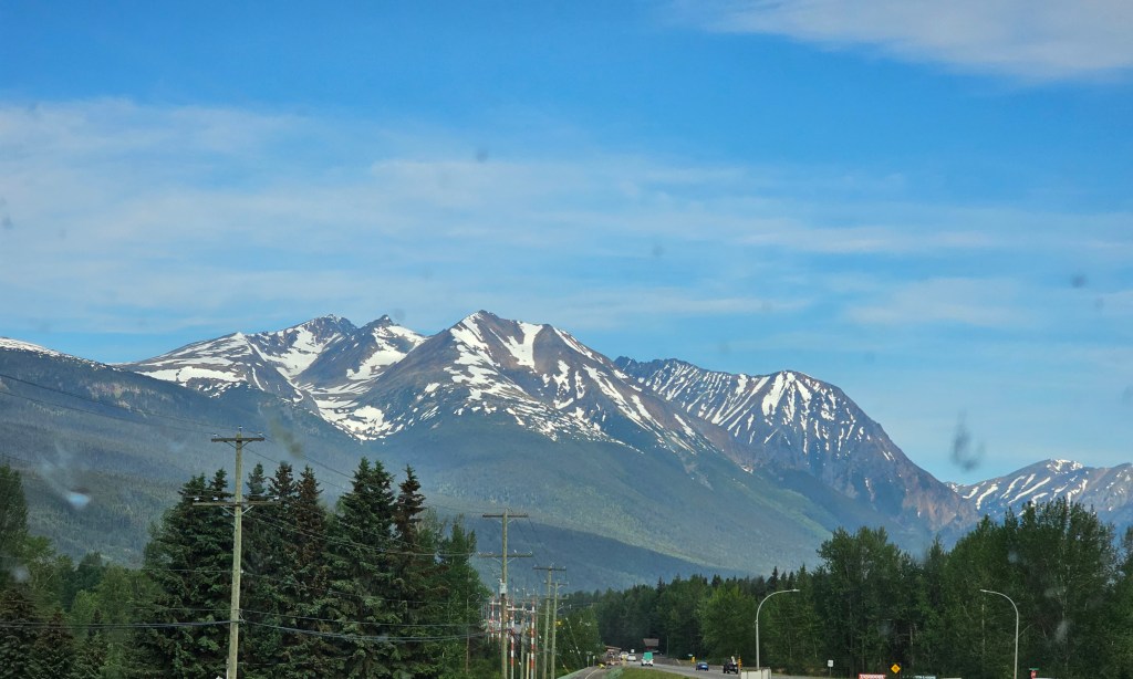
Another travel day today to get to Prince Rupert where we will board the ferry tomorrow to Port Hardy on Vancouver Island. The scenery was spectacular. We visited a couple of interesting places along the way.

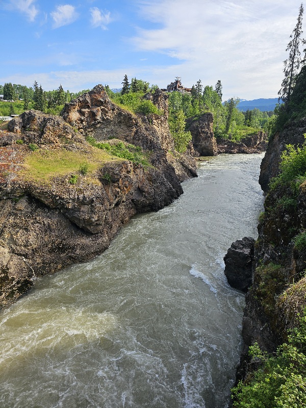


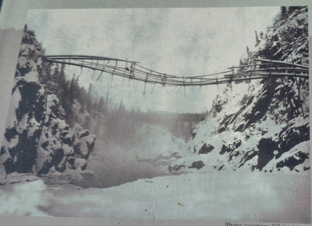
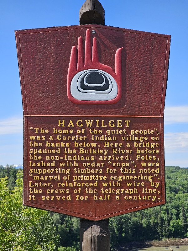
Hagwilget Canyon Bridge
To get to Hazelton, you need to cross the highest suspension bridge in North America over the Hagwilget Canyon.


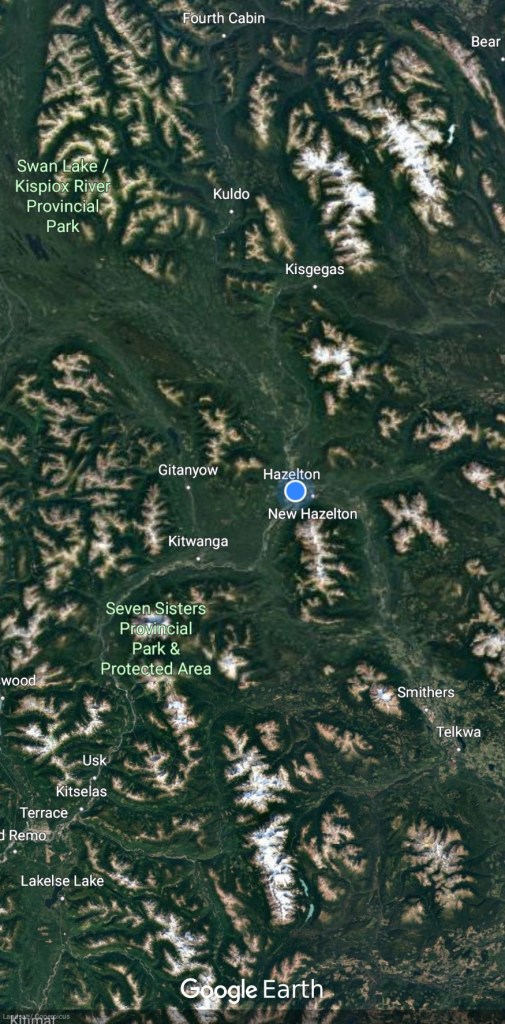
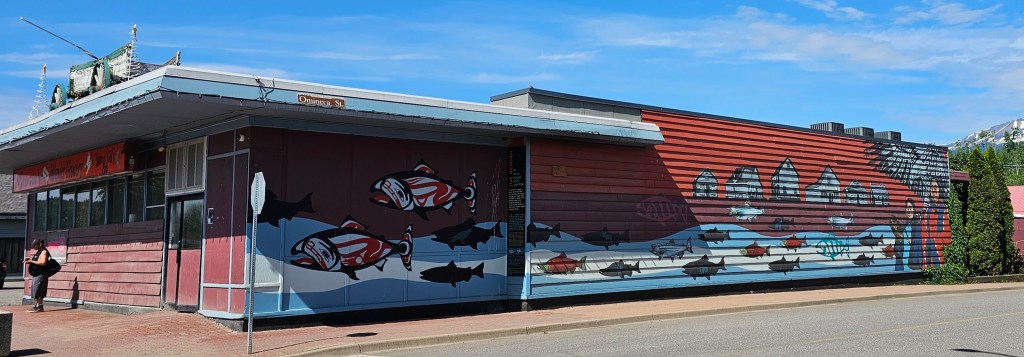
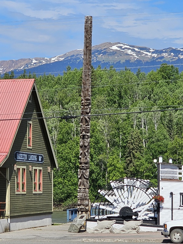
Hazelton, BC
Hazelton is one of the oldest settlements in northern British Columbia; its European settlement dates back to 1866 when the Collins Overland telegraph went through. Hazelton was the original gateway and staging area for the Omineca Gold Rush of 1869-73. It also had the only proper hospital for hundreds of miles in any direction. Another, less appreciated, distinction was in having dozens of roaming, foraging, and howling sled dogs, as nearly everyone had their own team and many were allowed to run free. Transportation options got better in 1891 when the Hudson’s Bay Company’s sternwheeler Caledonia arrived from Port Essington. As the head of navigation on the Skeena, Hazelton played host to more than a dozen sternwheelers throughout the next twenty-two years.

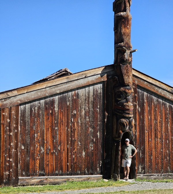
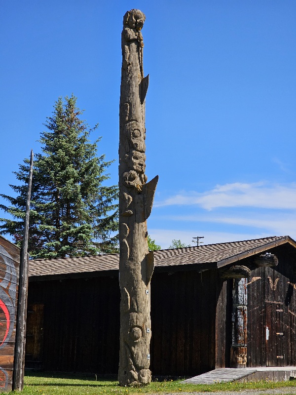
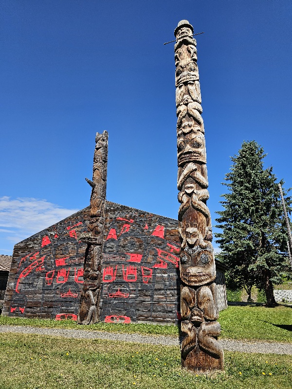
We visited the Ksan Aboriginal Village this morning. Since we were only 2 people and 5 are required for a tour, we didn’t get into any of the buildings except the museum (which we were not allowed to photograph). The Gitxsan people had advanced technology skills.
‘Ksan Historical Village, Campground and Museum is located near the ancient village of Gitanmaax, at the confluence of the Bulkley and Skeena Rivers in the community of Hazelton, British Columbia and is the home of the Gitxsan peoples for over 8000 years. ‘Ksan is a place to honour generations past and present.’


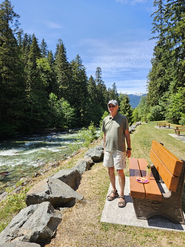
Terrace BC holds a lot of memories. I spent about a month here almost 30 years ago, caregiving for my in-laws. Some reminiscing going on… to share or not to share. It was an interesting time.


We have a campsite near the ferry terminal so we can make a quick exit. Probably the worst campsite ever! No picnic table and no place to even put up our chairs. It’s basically a gravel driveway just long and barely wide enough for our vehicle. We have to start exaggerating our size from now on. We also have neighbors blaring rap music at full volume. Not considerate traveller’s at all.
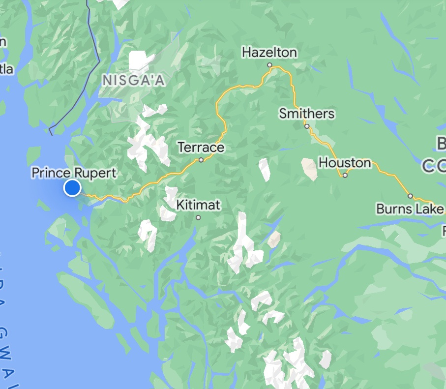
The Yellowhead Highway, Highway 16
We have been following the Yellowhead Highway since we picked it up just west of Winnipeg. It ends on Haida Gwai. We will have travelled most of it on this trip.
The Yellowhead Highway (French: Route Yellowhead) is a major interprovincial highway in Western Canada that runs from Winnipeg to Graham Island off the coast of British Columbia via Saskatoon and Edmonton. It stretches across the four western Canadian provinces of British Columbia, Alberta, Saskatchewan, and Manitoba and is part of the Trans-Canada Highway system and the larger National Highway System, but should not be confused with the more southerly, originally-designated Trans-Canada Highway. The highway was officially opened in 1970. Beginning in 1990, the green and white Trans-Canada logo was used to designate the roadway

The highway is named for the Yellowhead Pass, the route chosen to cross the Canadian Rockies. The pass and the highway are named after a fur trader and explorer named Pierre Bostonais. He had yellow streaks in his hair, and was nicknamed “Tête Jaune” (Yellowhead). Almost the entire length of the highway is numbered as 16, except for the section in Manitoba that is concurrent with Trans-Canada Highway 1.

Much of the Yellowhead Highway between Edmonton and BC Interior is built on former railway lines. In the early 1900s, both the Canadian Northern Railway (CNoR) and the Grand Trunk Pacific Railway (GTPR) built lines leading to the Yellowhead Pass. In 1917 the Canadian government compelled the two railways to share one line between Red Pass Junction and Lobstick, and portions of both railways were abandoned. Rails pulled from the abandoned sections were sent to France during the Great War. One of the engineers working on the crew had the idea to convert the rail bed into a road.
Ksan Aboriginal Village, Hazelton, BC.
http://www.hazeltonstourism.ca/ksan-historical-village-and-museum.html

You must be logged in to post a comment.